Let me tell you about a little-known hike in the Franconia region of Germany.
If you’re looking for a hike filled with drama—alpine meadows, yodel-inducing high altitude vistas, and bragging rights—then this is not your hike.
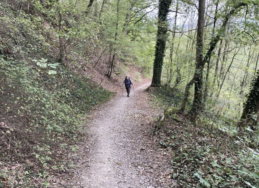
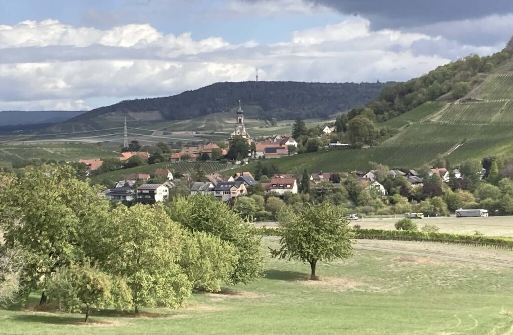
But how about a path through peaceful beech trees without another soul in sight? If the world has jangled your nerves and you could you use a long wooded walk, how about one with occasional views over perfectly tended vineyards, punctuated by the prettiest imaginable Bavarian villages?
Have I ever got the walk for you.
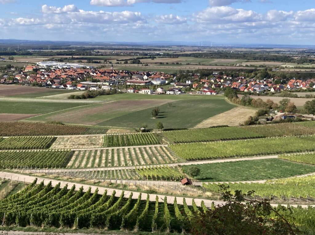
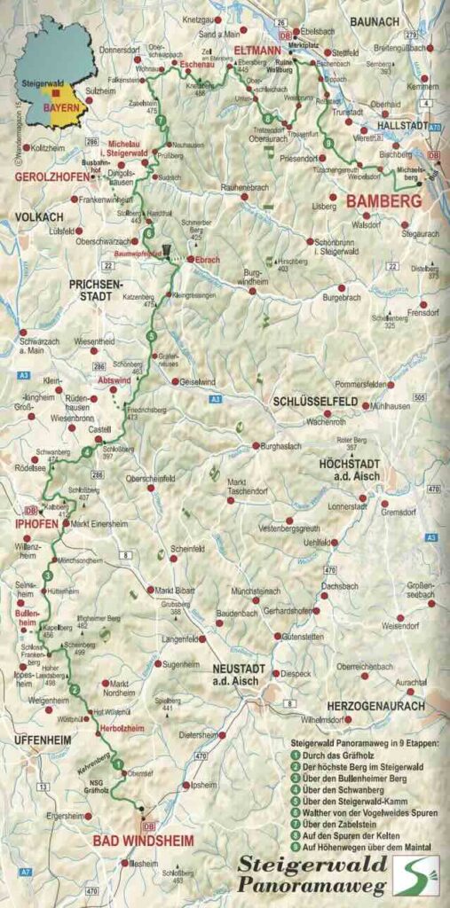
The Steigerwald Panoramaweg (Rising Forest, Panoramic Way), stretches a bit more than 110 miles (177 kilometers). I was searching for a day hike near Bamberg and instead found this long trail I’d never heard of, curving up from the historic spa town of Bad Windsheim to Bamberg with its UNESCO world heritage old town. Over 9 or 10 days, you’ll hike until you’re good and tired, then step into a charming Bavarian gasthaus for a hot shower, a deep pour of local white wine, and a hearty traditional meal.
We’ve done a lot of inn-to-inn hikes at this point (Lycian Way, Hadrian’s Wall, Archipelago Trail in Finland, and others) and this one was such a pleasure. The distances and elevations capture that sweet spot of pleasing exertion, neither too easy nor exhausting. Also, the waymarks are excellent, so you can traipse along, letting your mind wander, letting the miles walk themselves under a canopy of green trees. The Steigerwald Panoramaweg is a winner.
Tips for success on the Steigerwald:
1. Plan. I hope this information is useful to you! But please check the details for your own journey. Below are some resources to get you started. All are in German. For us, needing to translate everything, which shows that this hike is well off the beaten path for English speakers, is part of the fun.
- The official Steigerwald Panoramaweg website.
- Steigerwald Panoramaweg guide.
- This trip report from a German couple. Note that it is written in three posts; links to the others are at the bottom.
2. Take Euros. We took about €500. In this corner of Bavaria, some lodging and meals are cash only.
3. Pack light. This is a big reason you’re going inn-to-inn, to reduce the weight on your back. Take as little as you can. Plan to rewear your clothes. To help you pack, I list the total contents of my pack in the next section. (It’s not much.)
4. Download your essential info. We always had wifi at our lodging, and sometimes had good internet connection (T-Mobile cell phone) in the woods, but sometimes we didn’t. You should download these three items in advance:
- This region of Germany on your favorite map app that gets its data from Open Street Maps (OSM). We used CoMaps.
- This Kamoot guide to the hike. We downloaded the route on the Kamoot app. Note that Kamoot and the real world waymarks differed! The differences were subtle but important. (For example, Kamoot often included the distance into a side town while the official trail didn’t). Always follow the actual signs on the trail; we did, and they never let us down. The Kamoot is still very useful for the general overview.
- The German language on Google Translate. While most Germans speak English, it’s common in this region to meet folks who speak just a little or none, and the signage on the trail is German only. It’s also a good idea to learn a few words of German because it’s polite and makes your trip more fun.
5. Be ready for the outdoors. You’ll have a lovely town each evening with amenities, but all day you’ll be in the woods. Be prepared to pee behind a tree—very few toilets along the way. Prepare for weather, too. While we had ideal conditions in September, you could easily have rain, wind, etc. As always on a long hike, be prepared.
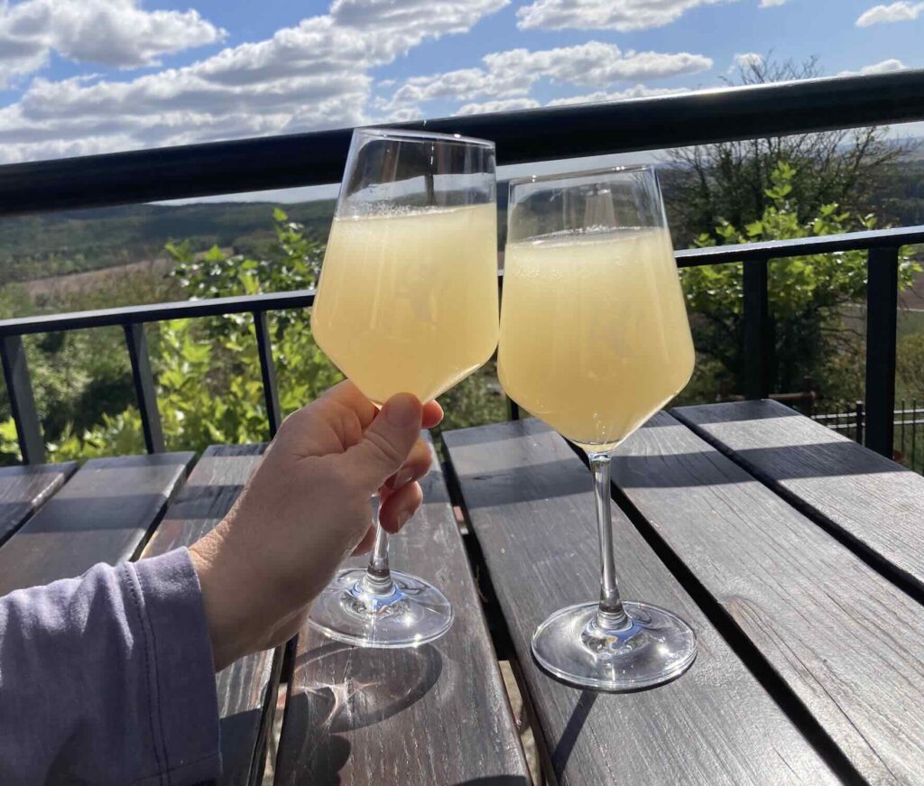
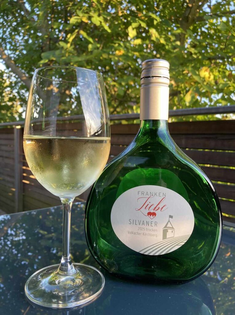
6. Enjoy the traditional food. This is the region of schnitzels, bratwurst, breaded carp, knödel dumplings with gravy…you get the idea. There was always something vegetarian on the menu, but it tended to be more bread/potatoes and cheese than vegetables. The breakfasts were traditional spreads of cold cuts and cheese, rolls, muesli and yogurt, a little fruit, and always soft boiled eggs. And of course the wine! The region is known for both whites and reds in Franconia’s specially shaped bottle. If you go in September, you will likely find a glass or two of federweiser (feather white), which is a fresh wine from the harvest in progress. It’s like a cloudy fermented grape juice, served ice cold, refreshing and delicious.
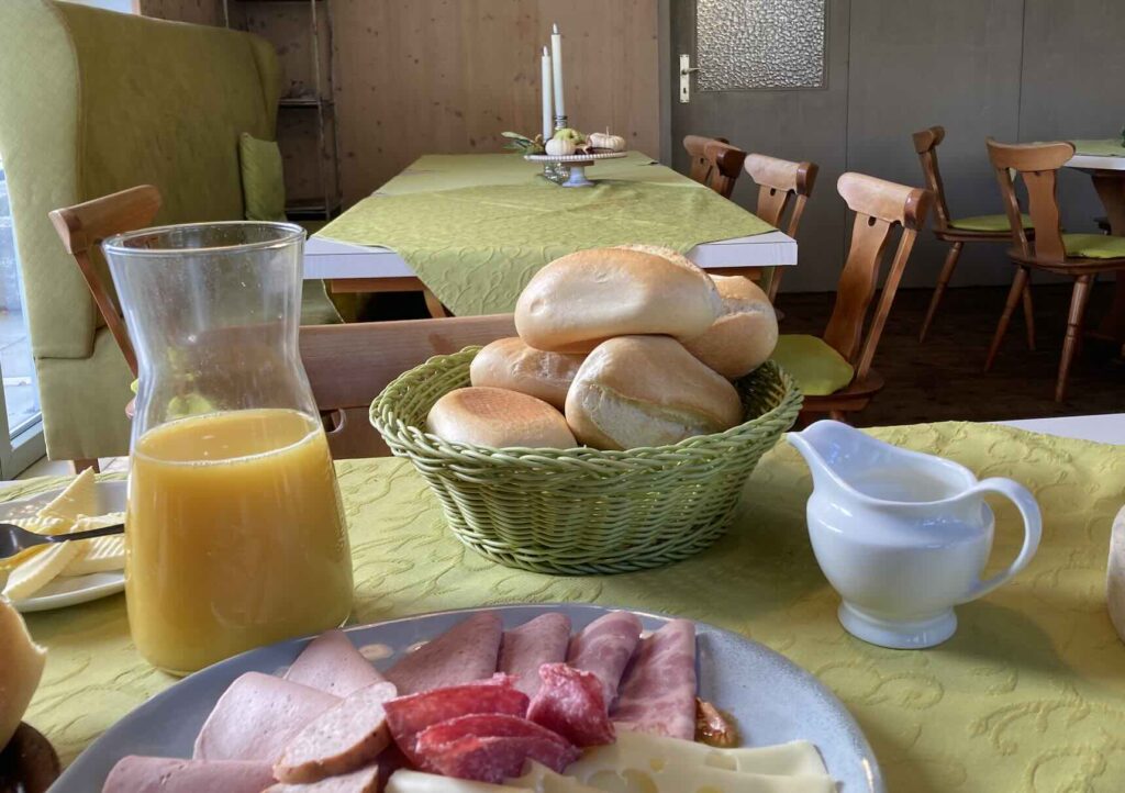
7. Book your accommodations directly. We used Booking.com several times but shouldn’t have. Almost all these inns have websites to reserve directly and you could save about 25%. Booking.com didn’t increase our ability to use credit cards as we thought it might; all but two places accepted room payment by card. Our two e-mailed reservations worked just as well as any we booked online. I give each inn’s direct contact information in the itinerary (below).
What to Pack?
You are hiking inn-to-inn, so you can and should pack light. You’ll need some stuff for your safety and comfort, of course, but you’ll thank yourself for keeping it as light as possible. We left our two suitcases with our lodging host in Bamberg, setting off for Bad Windsheim with just our packs. Maybe there is a luggage service; I didn’t look. The simplicity of making do with what you’ve got on your back is part of the pleasure of an inn-to-inn hike. Here is the complete list of what I packed to get you started.
Basic hiking gear:
- 1 pair of hiking shoes. Really take your time on your shoes decision. Make sure they fit well and give sufficient support for miles.
- 24-liter backpack. (Justin carried a 34-liter backpack.) My pack was packed tight, but it worked well for me. Justin carried more water and was glad to have his larger pack with some extra space.
- 1 ½-liter water bladder. Justin had a 3-liter water bladder. Neither of us drank all our water, any of the days. We filled it with tap water from our bathroom sinks each morning.
- Montbell collapsible hiking poles. Lightweight, with detachable rubber tops (for paved roads). If you haven’t tried hiking poles yet, they are game changers. I love these.
Travel Basics:
- Passport.
- Tiny wallet. 1 credit card, 1 debit card, cash.
- Small journal and pen.
- Glasses with hard case, cleaning cloth, and tiny glasses repair kit.
- Sunglasses.
- Thread and needle.
- Headlamp. I didn’t use it on this hike, but nice to have, just in case.
- Handkerchief/tissues.
- Spare plastic baggies.
- Raincover for backpack. We had great weather—no rain—but you never know.
- A couple of laundry detergent sheets. We only had a washing machine once, and these were nice to have. Otherwise I washed clothes in bathroom sinks with hand soap, and it was totally fine.
Tech:
- Phone, phone cord, and plug with 2-cord capacity.
- Lightweight battery phone recharger and cord. Because your map is on your phone.
- Type C plug adapter. In use in most of Europe.
- Step counter device with charging cord. For me, counting all those steps/miles is part of the fun.
- Bluetooth earphones. Mostly we listened to the forest, with an occasional audiobook.
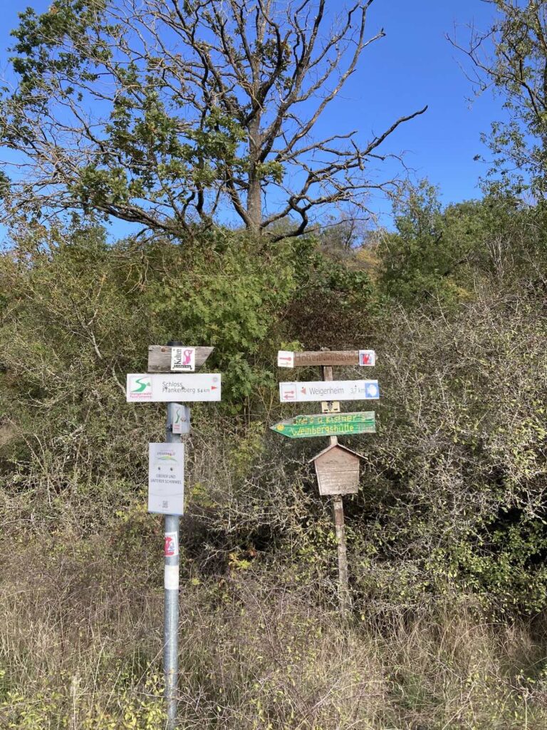
Toiletries:
- Chapstick(s) with SPF.
- Small bottle of sunscreen.
- Tiny bottle of hand sanitizer.
- Small zip lock bag of toilet tissue/wipes. Also baggie to pack out when used. There is absolutely no litter, and we won’t be the first to leave behind a tissue, right?
- Ear plugs. Quiet is a feature of this hike, and you probably won’t need these, but as a full time traveler I’ve learned to always have some. Justin also travels with an eye mask.
- Hairbrush.
- Toothbrush/toothpaste/floss.
- Soap bar and shampoo bar. Most inns supplied soap/shampoo, but a few didn’t.
- Tweezers and nail clippers.
- Deodorant.
- Assorted small bandages/Moleskin and antiseptic gel. We didn’t get any blisters, but it’s good to be ready.
- Tylenol.
Clothing: We washed out our underwear and socks in the sink every night. They are dry in the morning, ready to pack, then you put them on after your shower that evening while that day’s clothes are drying. Every few days we also sink-washed our hiking pants and shirts.
- 3 pants. Hiking pants worn every single day, yoga pants worn every evening, lightweight cotton pants to sleep in.
- 3 shirts. Long sleeve UV-blocking hiking t-shirt worn every single day, 1 long sleeve shirt for evenings, 1 t-shirt for sleeping.
- 3 pairs of quick-dry underwear. Wash that day’s underwear/socks/bra every night. You have a spare set in case you don’t get to it one night or it isn’t quite done drying.
- 4 pairs of wool socks. 3 pairs of hiking socks, 1 extra warm pair for evenings.
- 2 bras. 1 hiking bra worn every day and 1 for evenings.
- Warm hat. Worn a little bit, in the evenings.
- Sun hat. Worn every single day.
- Lightweight merino wool sweater.
- Lightweight zip up jacket (Justin skipped this).
- Rain jacket with hood.
Food:
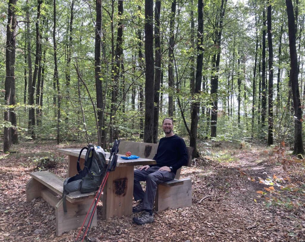
- We had nuts, dried fruit, and granola bars (supplemented by apples from the breakfast table when available). Almost nothing was open midday, and there were few grocery stores. But between breakfast and dinner, our snack picnics in the woods were all we needed midday.
Items I did NOT take:
- No towel. They were always supplied at the inns.
- No spare shoes/slippers. This may be nice if you have the space.
- No print book or tablet. I read books in the evenings on the library app on my phone. It was fine.
- No print map/guide book. We used our OSM-based map app on our phones.
- No hair conditioner. My hair gets a little wild on these long hikes. I don’t care.
- No laundry line/clips. Towel racks/hooks worked to hang our drying clothes.
- No bug spray. If we had hiked in summer, this would have been important, but not needed in September.
What’s the Itinerary?
We loved our hike as it unfolded, and also we learned a few things we’d change if we hiked it again. Below I give our itinerary exactly as we hiked it, along with notes for changes you might consider.
- We took three variances from the official route. First, we stayed in Huttenheim (Day 2) because I couldn’t find lodging in Bullenheim. (Stay in Bullenheim if you can, but Huttenheim was also delightful.) Second, we took a rest day in Ebrach (after Day 5), which I highly recommend. Third, we broke two stages (8 and 9) into three stages, giving us 10 total walking days (11 total days on the trail with our rest day). This worked, though our lodging in Viereth (Day 9) was a bit far off the trail; the one inn in the more convenient Tütschengereuth was booked. If we hiked it again, and if we couldn’t get into the Tütschengereuth inn, we’d stick with the original nine stages.
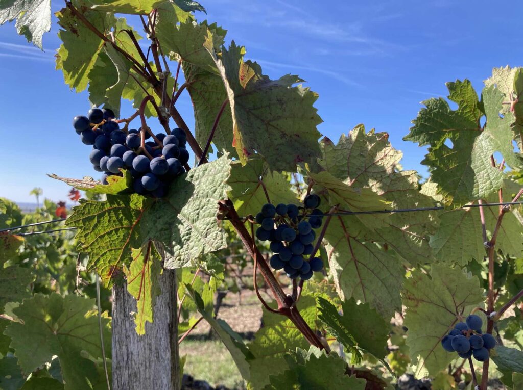
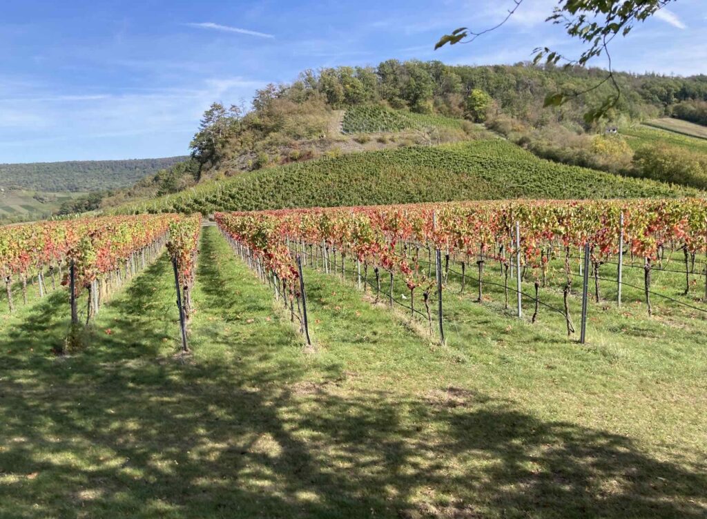
- September was great. No rain. We thought we were timing it perfectly for the grape harvest, but due to the very hot summer, harvest had been early. If we’d hiked a couple of weeks later, we’d have more fall colors. The official guidebook suggests hiking in Spring for the wild flowers and butterflies. Summer would also make for a good hike, although a lot of inns do not have a/c—something to keep in mind if it’s warm.
- You could make this a shorter hike. For 8 days, hike from Bad Windsheim to Eltmann, walk across the river to Ebelsbach, and take the train to Bamberg. For 5 days, start in Iphofen, hike to Eltmann, cross to Ebelsbach and take the train to Bamberg (or hike that in reverse). For 3 days, hike from Bad Windsheim to Iphofen and take a train to Bamberg.
- I note below both the projected mileage each day and what my step counter reported we actually walked. As you’ll see, we consistently walked a bit farther than projected.
DAY 0: Get in position in Bad Windsheim. No mileage.
Lodging: Goldener Schwan Hotel Garni, breakfast included. Online booking form, accepts most credit cards.
Notes: Train and bus connections from Bamberg are good, but this isn’t a big town; check in advance. There is a grocery store in Bad Windsheim if you need to pick up trail snacks. Since heavy meals are on the menu for the next several days, this is a good evening to get stir fried vegetables at Mr. An Trang.
Day 1: Bad Windsheim to Herbolzheim.
Projected Mileage: 8mi (13km), actual: 8.6mi.
Lodging: Gasthaus Gruner Baum, reserved by email, pay with cash or credit card on arrival. Breakfast included.
Notes: Short walk today—a nice warm up. Be sure to stop at the first Steigerwald Panoramaweg sign at the edge of the spa park to get your starting photo. You can make today’s mileage much longer if you first walk around Bad Windsheim’s massive outdoor museum of historic buildings. (It looked wonderful—we only passed on it because we’d recently gone to a very similar one.) You could also go to the baths in Bad Windsheim before departing. Nice traditional dinner at our gasthaus. There was a group of locals at the “regulars’ table.”
Day 2: Herbolzheim to Huttenheim
Projected Mileage: about 11mi (17km), Actual: 12.5mi
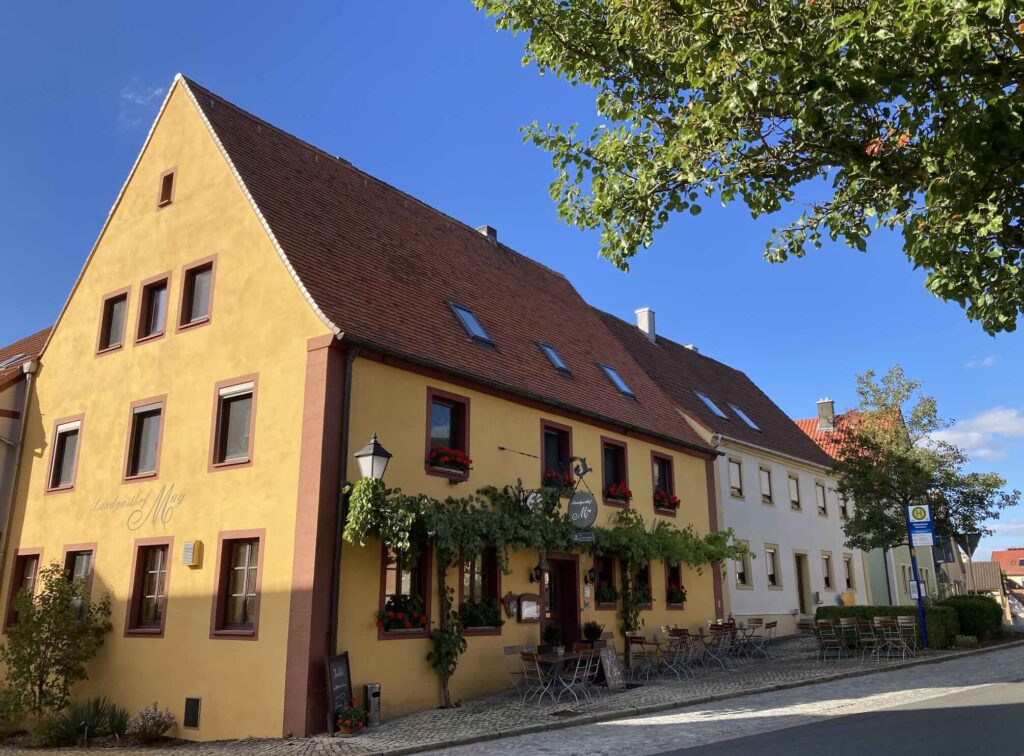
Lodging: Landgasthof May. Reserve in advance online but pay on arrival (accepts credit cards). Traditional breakfast provided for an additional charge.
Notes: The Steigerwald route says to go to Bullenheim today, but since I couldn’t get lodging there, we carried on to Huttenheim instead. While that worked well, stay in Bullenheim if you can and enjoy the views as you climb over the ridge. The walk today included castle ruins at Hohenlandberg and a stop at the restored Frankenberg Castle/hotel, where we were served an ideal glass of federweiser and an onion tart with salad on the terrace. When we reached Huttenheim, we walked to the Gümpelein family winery in town for another glass of federweiser (they are also a gasthaus). Good dinner at our gasthaus.
Day 3: Huttenheim to Iphofen
Projected Mileage: 12mi (20km). Actual: 12.75.
Lodging: Gasthaus Lutz. Accepts credit card for room through Booking.com—ask if cc can be used when booking directly. Pay for breakfast separately in cash. Many other lodging options in town. On weekends, inns may require a two-night stay in this popular destination.
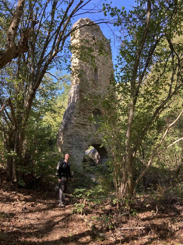
Notes: If you start a little later than usual and arrive in nearby Mönchsondheim after 10am, you could visit the fortified church museum. (If you are too early, as we were, you can still look around the beautifully preserved outside.) We walked through the small town of Markt Einensheim, then up to the “Terroir f” for our snack picnic on a wooden swing overlooking the town, then on through vineyards. Since we started from Huttenheim (not Bullenheim), we took the detour to see a lovely remaining tower of a castle ruin. As you approach Iphofen, take a moment to try the Kneipp “stork walk” cold water treatment in the purpose-built pool along the trail. Walk directly to 99 Kulinarium in the town square to see if they have an open table that evening—or reserve in advance. Delicious fresh updates on traditional Franconian cuisine and the best meal of the trip. Look around Iphofen with its churches and fairytale medieval walls and gates. There is a grocery store in town if needed.
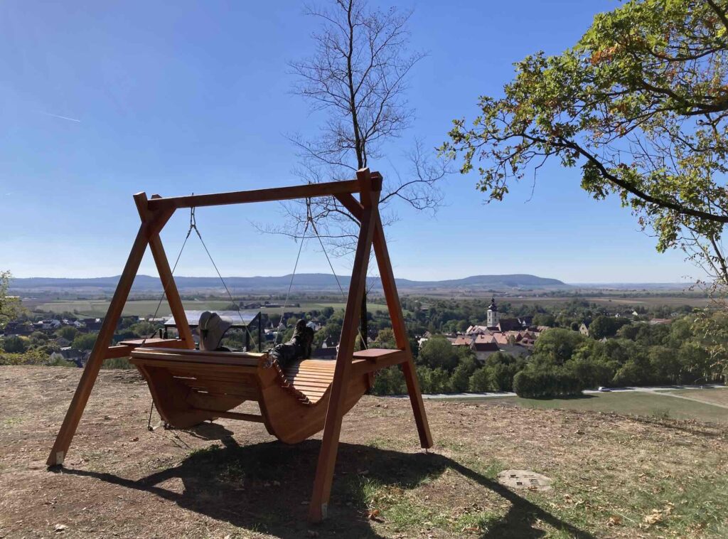
I mean, can you believe this hike?
Day 4: Iphofen to Abtswind
Projected Mileage: 12mi (19km). Actual: 13.7mi.
Lodging: Gasthaus Zur Schwane, reserved via email, pay with credit card on arrival, good breakfast is separate.
Notes: Lots of uphill/downhill today. Waymarks change a little out of Iphofen—still very good but not as impeccable as before. Stop at “Geotop” for view over Iphofen. Linger at St Michael’s complex and delightful Schwanberg Castle Park, and overview of Rodelsee. Bench with great view of Castell, near Sodel spring, for a picnic. Hike down into valley, then back up to giant linden tree and castle ruin with remaining tower. Hike on through forest, steeply down to Abtswind. Our gasthaus had a designated regulars’ table with several locals. Sample ice cream from the vending machine across the street—pretty good!
Day 5: Abtswind to Ebrach
Projected Mileage: 11.5mi (18km). Actual: 12.8mi.
Lodging: Steigerwald Apartments. To book directly, WhatsApp Anja Gillich, the manager, at +491757249821. Cash only, pay on arrival. Since this is an apartment, not an inn, get supplies for breakfast/other meals from nearby Norma supermarket. If that doesn’t appeal, this gasthof and this hotel in Ebrach are other options.
Notes: Walk uphill to get back to the Steigerwald. You’ll go through the little village of Grafenneusses, but very quiet/no services. Continue uphill to lookout. You can picnic in the woods, then hike on to Ebrach. If you reserve this pretty apartment built by the hosts, you’ll have a balcony to enjoy. If you’re not taking a rest day tomorrow, then get here in time to see the monastery.
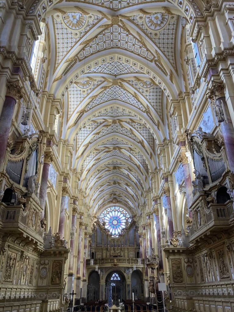
Rest Day in Ebrach. If you have the time, let yourself sleep extra in the morning, have your coffee on the balcony, then stroll over to the magnificent sanctuary of the Cistercian monastery. It’s stunning to step from this typical Bavarian town square into the yellow, pink, and gold opulence. Don’t miss the Rose window. If you’re here on a Sunday, get a guided tour of the rest of the former monastery, now a juvenile detention center. Reserve in advance.
Day 6: Ebrach to Michelau
Mileage: 10.7mi (17km). Actual: 13.23mi
Lodging: Ferienwohnung Pfrang, to book directly try contacting Andrea or Martin at info@weinmanufaktur-pfrang.de. Family winery business. Pay cash on arrival for lodging and breakfast—must request breakfast at booking. Not a gasthaus, so arrange your own dinner (probably the Greek restaurant in town).
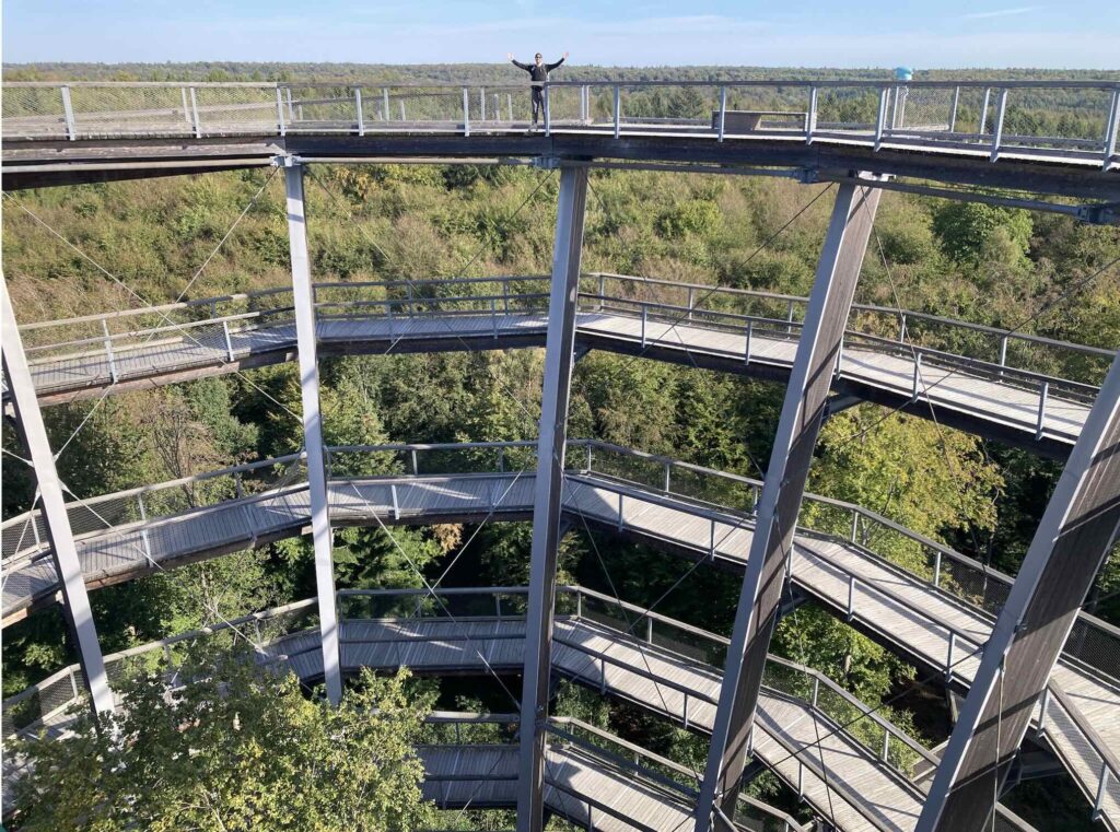
Notes: Walk to Baumwipfelpfad, the spiralling observation tower. Very enjoyable and you might see some impressive wildlife. As you walk on, check out the clever marble runs in the woods. Watch for the detour in the woods—we didn’t pay attention and added about a mile. Be sure to slightly detour at the grotto chapel before you get to Handthal, with its lovely grape vines in stained glass. Walk on to Handthal. If it’s the weekend and you’d like a lunch break, stop in the inn in town. We decided to try our luck at the hillside winery/restaurant above the town; it was Sunday, packed to overflowing, and the wait staff were overwhelmed, so we walked on and ate our picnic snack at the nearby “Terroir f” with a great view. Hike up a bit more to the castle ruins. Walk on through woods, with glimpses of vineyard hillsides through trees on a great trail, but then a bit of a trudge over gravel roads to Michelau. Vineyards out back of our inn, barn across the street! The only restaurant in town is run by a Greek family serving gyros, pita, salads, etc.
Day 7: Michelau to Eschenau
Projected Mileage: 12mi (19km). Actual: 13.86mi.
Lodging: Gasthof Pension Zum Bohlgrund, pay with credit card, nice breakfast buffet included.
Notes: Nice paths through beech forest to Zablestein castle ruins with modern overlook tower. After enjoying the view from the top, you can picnic at the picnic tables. Check out the castle walls, then on to the wine village of Falkenstein. We stopped at the Doeflein family winery. You might need to ring the doorbell to get someone to sell you a small (.25l) bottle, then sit at their front yard picnic table to enjoy it. Walk over fields, then some gravel road walking into Eschenau. You’ll see Pension und Gasthaus Zum Bohlgrund from a distance across the fields. Ring the doorbell at the left side door. The room was a bit worn but clean. Good dinner. Pleasant beer garden.
Day 8: Eschenau to Trossenfurt (official stage continues to Eltmann)
Projected mileage: 11mi (18km). Actual: 12.07mi.
Lodging: Der Mosenhof. Charming rooms above a cafe. Unless you land here on a Friday, they don’t serve dinner; we ordered pizza and salad delivery to our room (the cafe provided utensils and sold us wine and beer). Have breakfast (billed separately) in the cafe downstairs in the morning. Accepts credit cards. Note that the official stage would have you continue another 4 miles to Eltmann and stay the night there; it’s a larger town with many lodging options.
Notes: Steep uphill out of Eschenau into a beech forest. All deep forest walking with a couple of viewpoints. Walk on to the very pretty (though totally quiet) town of Zell au Eberzberg. Also quiet in Unterschleichach—we picnicked at a bench in a small village park. A little more forest walking, past fish ponds, into Tressendorf and Tressenfurt. You’ll easily find Der Mosenhof in town. Have a slice of traditional Bavarian Kranz cake in the cafe courtyard.
Day 9: Trossenfurt to Viereth (official stage is Eltmann to Michelsberg, just outside of Bamberg)
Projected mileage: 13mi (21km). Actual: 14.2mi.
Lodging: AirBnB Modern Apartment. Had a washing machine! Since this is an apartment, not a gasthaus, you’ll need to arrange your own meals. We picked up food for breakfast in Eltmann, then walked into town for dinner.
Notes: Walk over fields for a little bit, then through some nice woods. When you reach the castle tower over Eltmann, choose whether you keep going or climb down the steep stairs into town (it’s not on the trail, but we wanted supplies for breakfast at the grocery store which added 1.5 miles to our day). Walk over fields on gravel roads (for some reason, the trail doesn’t go through the nearby stands of trees) to Rossstadt. At this point, you can stay on the Steigerwald Panoramaweg for approximately 7 miles to Viereth, or stay on the paved bike path to get to Viereth in about 4 miles (that’s what we chose). We walked through town to our apartment, then walked back to the Mainlust Gasthaus/beer garden, which was brimming with people on a Wednesday night. Good traditional food, great experience.
Option: If you want to stay on the trail and avoid the official 16+ mile last day, stay at Der Mosenhof the previous night, then get a room tonight in Tütschengereuth. (This was our first choice, but the inn was booked.) Pack enough food to avoid the trip to the store in Eltmann and back up the hill. This would make this day a reasonable distance and leave about 8 miles for the last day, giving you lots of time to begin enjoying historic Bamberg.
Day 10: Viereth to Bamberg
Projected mileage: 10mi. Actual: 10mi.
Lodging: Many options for hotels, holiday apartments, and hostels in Bamberg
Notes: Last day! After your breakfast provisions purchased yesterday in Eltmann (or previously in Ebrach), walk the paths through fields out of Viereth, to Tutschengereuth, then to the charming town of Weipelsdorf. Stop for a picnic on a bench, then enjoy the last stretch of pleasant woods to the end-of-the-trail sign at Michaelsberg (be sure to get your photo). While the trail officially ends here, keep walking into beautiful Bamberg, where you will have so much history and architecture to enjoy. Also, you may wish to switch your evening glass of wine for a mug of the famous smoked beer to toast your hike.
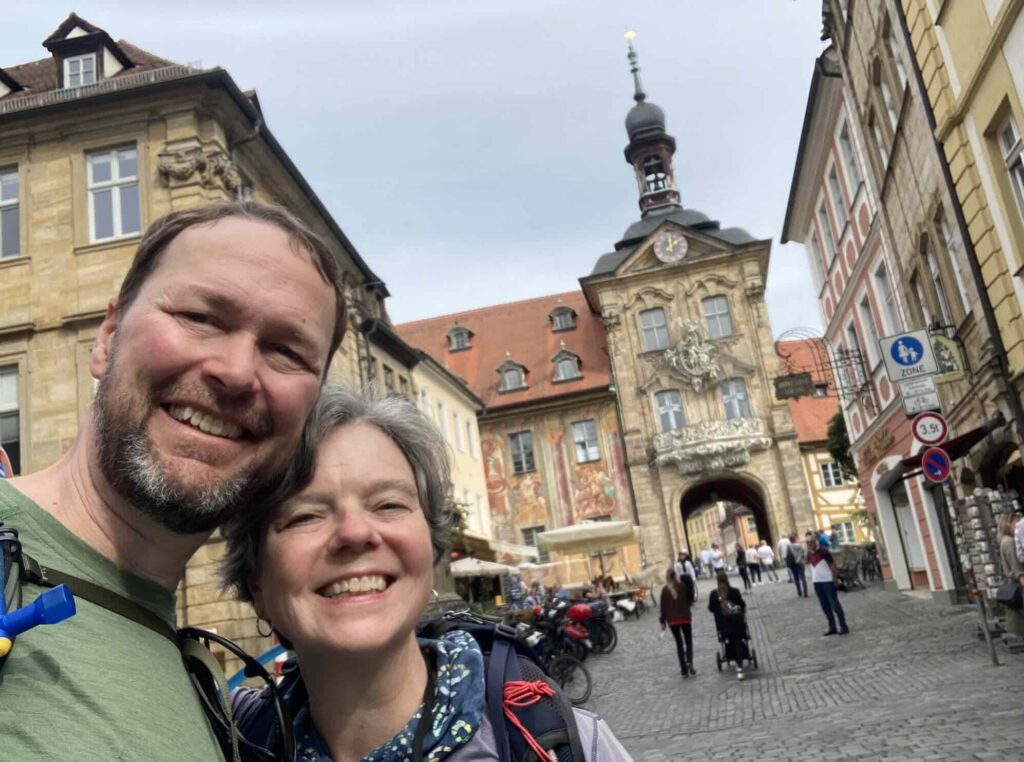
Woods, vineyards, tidy inns in charming villages. The feeling of peace and plenty over these miles just might stay with you long after your arrival in Bamberg. Justin and I hope this hike speaks to you. Leave any questions you may have—I’m happy to answer! And if you hike it, please leave a comment about how your own Steigerwald Panoramaweg unfolded.
Thanks for reading! Let me know your thoughts in the comments. For posts from our travels, subscribe to launaatlarge.substack.com. Justin’s writing on personal finance, early retirement, and minimalism is at Living the FIgh Life.